
Geohazard assessment
At HD Geo, we specialise in identifying, assessing and managing geohazards to ensure safe, resilient projects in challenging environments. Our expert team applies industry best practices and standards to assess the risks from rockfall, slope instability, and other complex ground hazards.
With a focus on clear communication and tailored recommendations, we collaborate with clients, engineers, and project teams to deliver solutions that address unique site conditions. From initial risk assessments to detailed stability modelling and design, our approach ensures projects are grounded in smart thinking and practical outcomes.
We are committed to delivering geohazard assessments that minimise risks, reduce uncertainty, and support the long-term safety and success of your project. With HD Geo, you can trust in reliable expertise and a no-surprises approach.
We are experts with the following methods of risk assessment:
AGS Landslide Risk Assessment (Australian Geomechanics Society)
NZTA Assessed Risk Level (ARL) for roading infrastructure)
Department of Conservation (DOC), Natural Hazard Risk Assessment (NHRA) framework

Case Study: Wairere Falls risk assessment
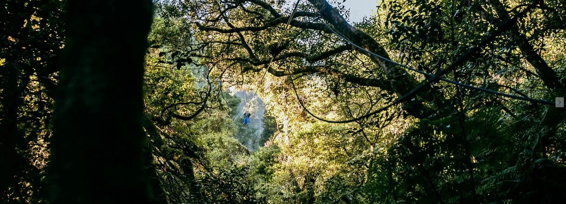
Case Study: Rotorua Ziplines slope stability

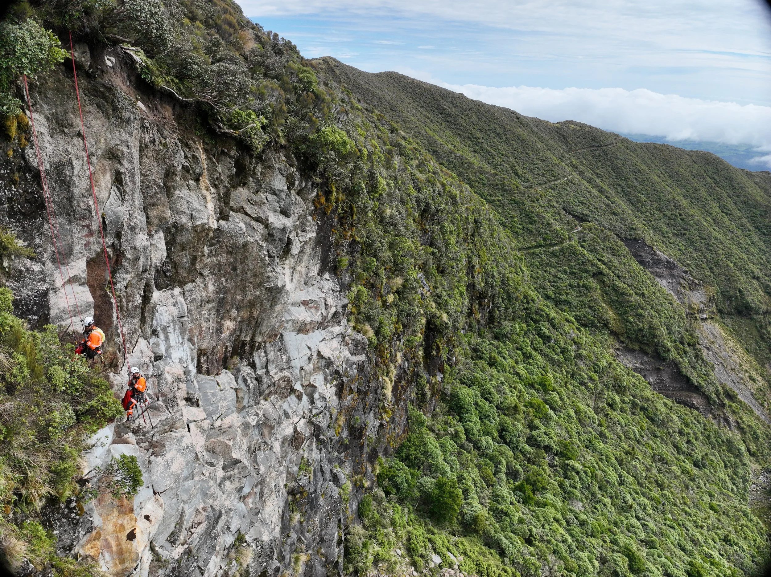
Case Study: Mt Taranaki Rockfall assessment and scaling
Rope access stability inpsection - Ngā Tapuwae o Toi Walkway, Whakatane

Lake Ōkareka track stability mapping

Lawrence Road rock slide inspection

Shine Falls landslide and rockfall risk assessment

Athenree Reservoir rockfall hazard design

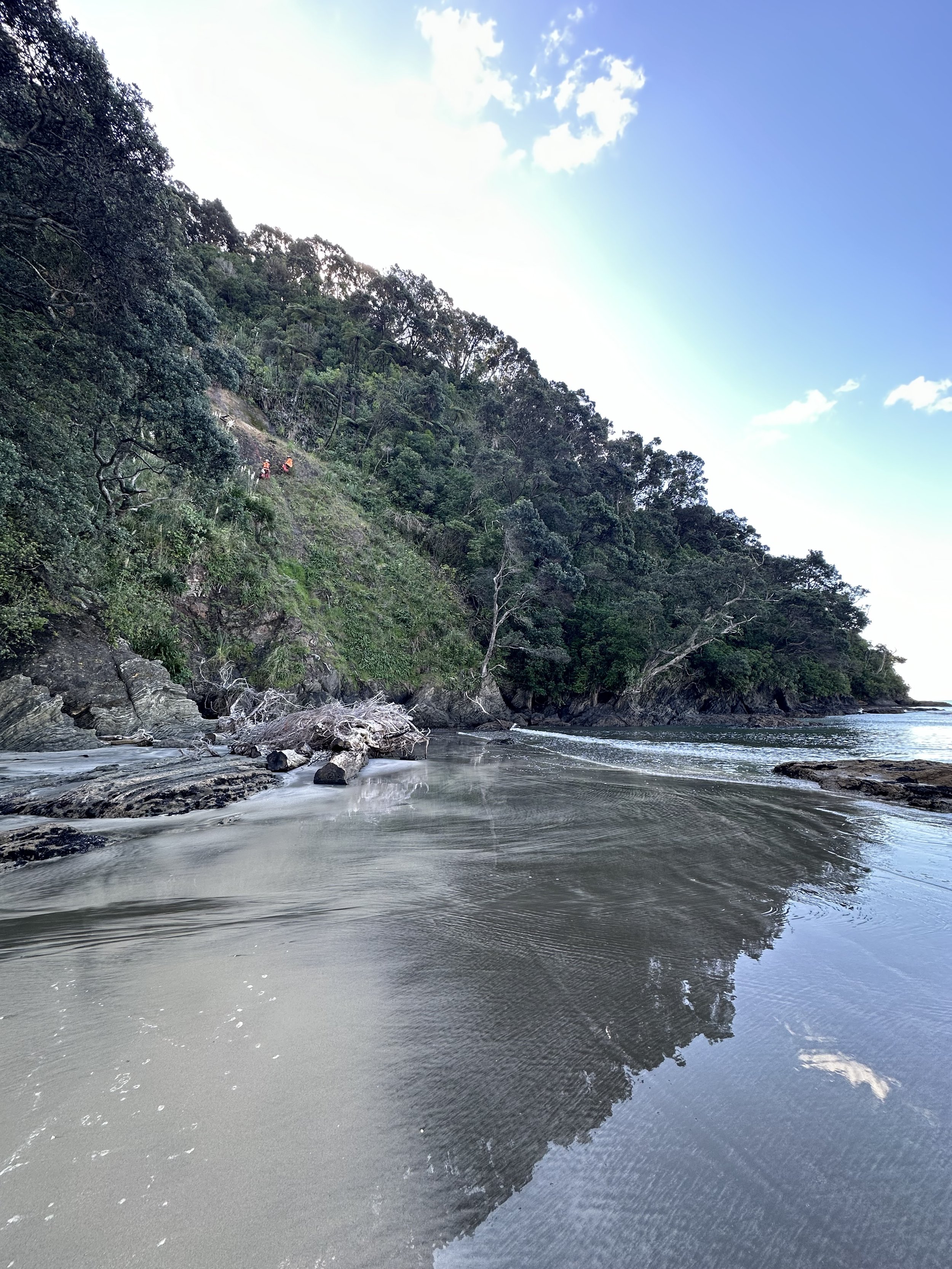
Hahei Beach landslide assessment

Lake Okataina rockfall assessment

Cape Kidnappers risk assessment